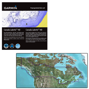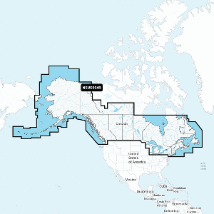

LakeVü™ g3 – LUS100F – microSD™/SD™
The Advanced Freshwater Fishing Map
- Industry-leading coverage, clarity and detail with updated inland maps that feature integrated Garmin and Navionics® content
- Coverage for more than 17,000 total lakes with up to 1’ contours that provide clearer lake floor views, so you can catch more fish
- Auto Guidance¹ technology quickly calculates a suggested route by using your desired depth and overhead clearance
- Includes Depth Range Shading for up to 10 depth ranges, enabling you to view your target depth at a glance
- To give a clear picture of shallow waters to avoid, the Shallow Water Shading feature allows for shading at a user-defined depth
Experience unparalleled coverage and brilliant detail when you’re on the water. LakeVü g3 inland maps provide industry-leading coverage, clarity and detail with updated inland maps that feature integrated Garmin and Navionics content.
Auto Guidance
Whether you are fishing or cruising, select a spot, and get a route showing you the general path and nearby obstructions at a safe depth¹.
Depth Range Shading
This feature displays high-resolution Depth Range Shading for up to 10 depth ranges so you can view your designated target depth.
Shallow Water Shading
To give a clear picture of shallow waters to avoid, this feature allows for shading at a user-defined depth.
Access Your Charts and Maps
Download the ActiveCaptain® app to use OneChart™, which gives you access to all your charts and maps from your mobile device and even lets you purchase new ones.